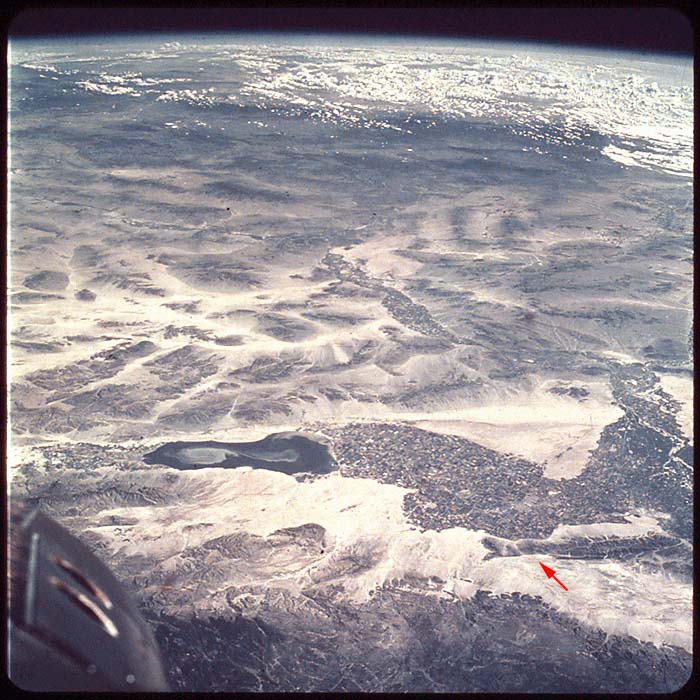
The Imperial Valley, California and Arizona on Earth
(with Mount Signal / El Centinela, lower left)
Gemini 5 photograph of the Imperial Valley in California looking northeast.
The Salton Sea, about 60 km long, is at the left of center in the foreground.
Left of that is Joshua Tree National Monument. To the right are farmlands.
The U.S./Mexico border is at the right and Arizona is in the background.
The San Andreas fault runs behind the Salton Sea. (Gemini 5, S65-45747)
See: Earth - Gemini 5